
Discover how weather forecasters were able to accurately predict this winter storm, and how it affected folks in our neighborhoods …
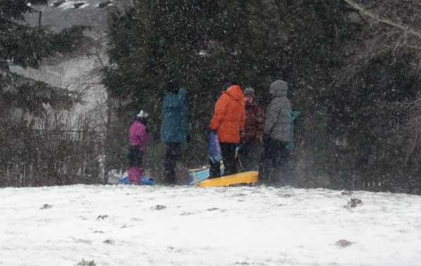
In the Powellhurst-Gilbert neighborhood, the heavy snowfall almost obscures a family having a winter outing in Raymond Park.
Story and photos by David F. Ashton
As predicted, the “Snowstorm of 2025” swept across outer East Portland neighborhoods on Thursday morning, February 13, right on time. Thanks to low temperatures, the pavement and ground had chilled, so when snow started falling, it didn’t melt away.
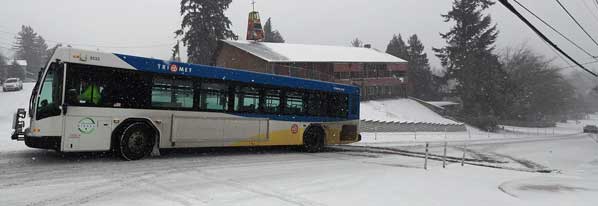
After skidding out on a hill, this TriMet bus gets stuck in the intersection, then backs down the slope and awaits help.
The day before, Portland Public, David Douglas, Parkrose and Centennial school districts first sent out notices that the start of school would be delayed. But, overnight, as weather forecasters stuck to their predictions of substantial snowfall, all four school districts cancelled classes for the day – and then the following day – due to the weather.
Meteorologists proud of accurate forecast
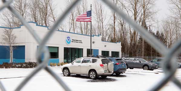
This was a close as we could get to the National Weather Service (NWS) Portland Weather Forecast Office in Parkrose on this snowy day.
Although the National Oceanic and Atmospheric Administration’s National Weather Service (NWS) Portland Weather Forecast Office in Parkrose didn’t let us in their building on “snow day”, their knowledgeable staff member, Meteorologist Tyler Kranz, cheerfully granted a telephone interview.
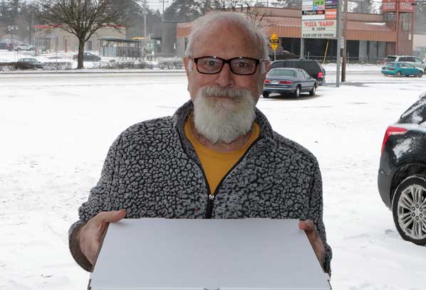
In the Midway Business Association District, Bill Dayton of Pizza Baron says, “What snow storm? We’re delivering a lot of pizza today!”
Asked how the NWS so accurately forecast the snowstorm so far in advance, Kranz accepted the question as a complement, replying “It’s because numerical weather modeling has improved every year; and these improvements are showing up in our forecasts.
“And, we were fully staffed up for this event, allowing us to take ‘the deep dive’ into all the model data available – having the resources to look at all the data helps give accurate forecasts,” Kranz explained.
“Also, we have really great ‘observations’ nowadays, such as satellite, radar, and thousands of ‘weather spotters’ in the region who make reports when weather changes begin to happen,” Kranz added. “Knowing where it is actually snowing, having freezing rain or sleet, helps us adjust our forecast as needed, in real time.”
Why it snows: wet meets cold
In simple terms, snow storms are caused by moist air colliding with cold air, Kranz pointed out.
“In this case, cold east winds developed, blowing in through Columbia Gorge into the Portland Metro area, and out to the Pacific coast,” he informed.
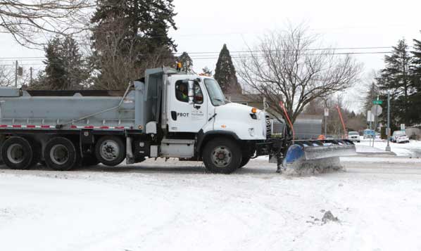
Portland Bureau of Transportation trucks, equipped with snow plows and sand spraying units, work to keep main travel corridors open.
“With the cold air in place over Portland, a low pressure system came from the west. Then, moisture, rotating round the low pressure area traveled up from the south,” Kranz went on.
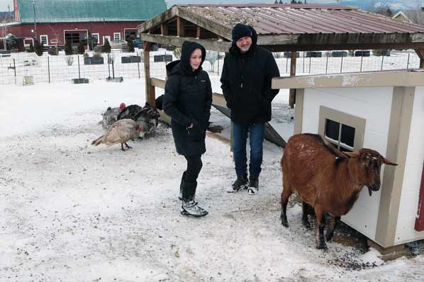
In Parkrose, at Rossi Farms, Gabrielle Rossi and Joe Rossi make sure their turkeys and goats are well fed.
“First wave on Thursday, providing up to 2 inches of snow,” continued Kranz. “Then in ‘round two’ of the storm, moist air came north, causing the overnight freezing rain and snow we saw on Friday morning.”
Kranz said their “weather models” pointed to rain over the weekend which would scour out the remaining ice and snow – again, just as it did turn out.
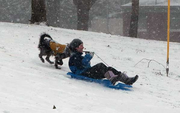
And snow it goes – for this sled rider and their dog!
© 2025 David F. Ashton ~ East Portland News™


